2D/3D Orthomosaic Mapping
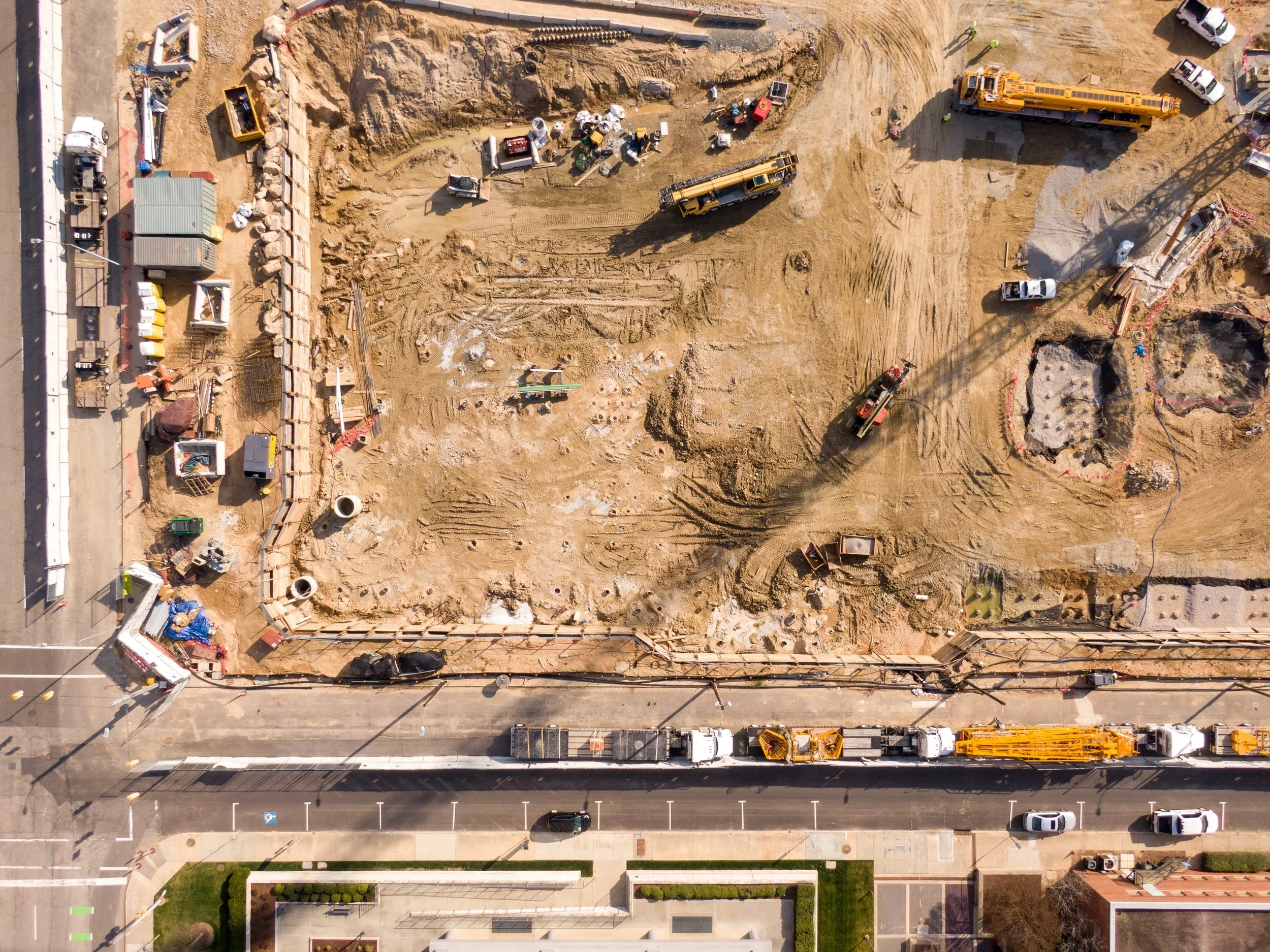
Sparrow Aerial Services delivers precise 2D orthomosaic map, 3D models, and accurate stockpile measurements tailored for the construction industry.
Enables project teams to monitor progress, verify earthwork volumes, do cut/fill analysis, and optimize material logistics.
Uses high-resolution aerial imagery and advanced photogrammetry to produce geo-referenced orthomosaics, digital surface models, and volumetric analyses.
Monitor changes to project over time comparing data sets from different time frames.
Integrates deliverables with common construction workflows and GIS platforms allowing for layering your BIM files into the map.
Reduces the time dedicate to monitoring site safety and enhances safety by minimizing personnel in hazardous areas.
Provides repeatable, verifiable data for billing, regulatory compliance, dispute resolution, and decision-making throughout every project phase.